From Happy Camp, Heart of the Klamath, To San Francisco (Before the Digital Disaster)

We headed south out of Port Townsend, Washington back on September 18, in search of warmer climes as the fall chill set in the northern Puget Sound. (We departed last year on August 6, 2017).
We haven’t posted many photos since then, so thought we’d celebrate Thanksgiving with this thankful post that we made it through northern California and the Sierra Nevada’s just weeks before the Paradise disaster.
Here’s the thumbnail travelog, written from Cannery Row, in a touristy and no longer Steinbeck funky Monterey (thankfully, the Peninsula is still gorgeous):
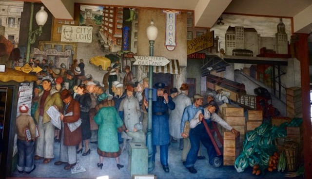
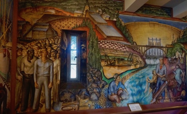
We toured the western shore of Puget Sound, down to Seattle, but bypassed the city and instead headed to central Oregon and the Cascades and Columbia River. We entered California along the Klamath River, and as these photos show, the conditions were extremely dry. At Happy Camp, we then proceeded west to the Redwoods and northern coast. We spent about a week on the coast around Crescent City, then the cold fog set in and we headed inland across the Sierra’s, then south along the eastern Sierra foothills to lovely Lake Tahoe and south to Twin Lakes. We managed to catch a powerful lecture on Native American history of Yosemite and Hetch Hetchy at the Bridgeport public library. Then we headed west over awesome Sonora Pass to San Francisco to visit my son (my brakes almost caught fire headed down from the Pass). Highlights included visits to City Lights bookstore and Coit Tower, whose murals show San Fran before the Digital Disaster the city has become.
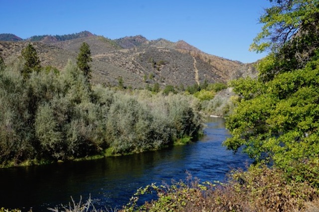
Klamath River, California – extremely dry conditions
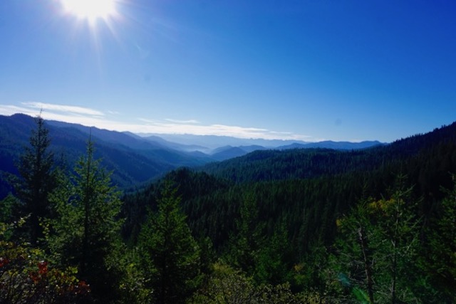
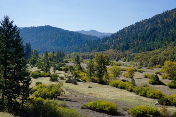
Six Rivers National Forest
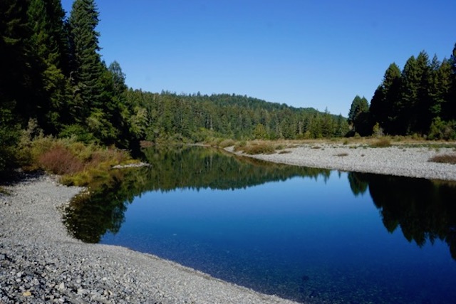
Smith River, Redwoods National Park
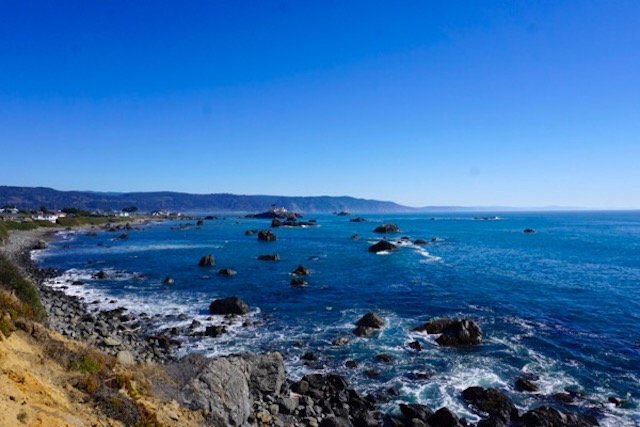
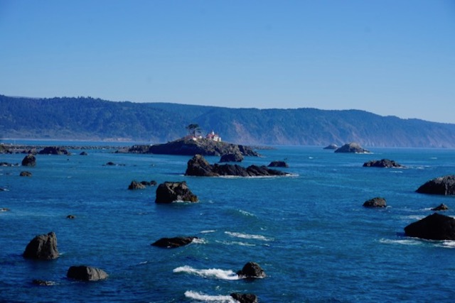
Pacific coast, Crescent City, California
El Dorado National Forest – extremely dry conditions
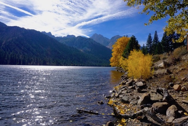
Twin Lakes, at base of Sawtooth mountains
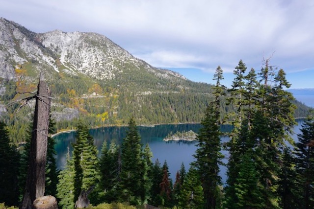
Lake Tahoe
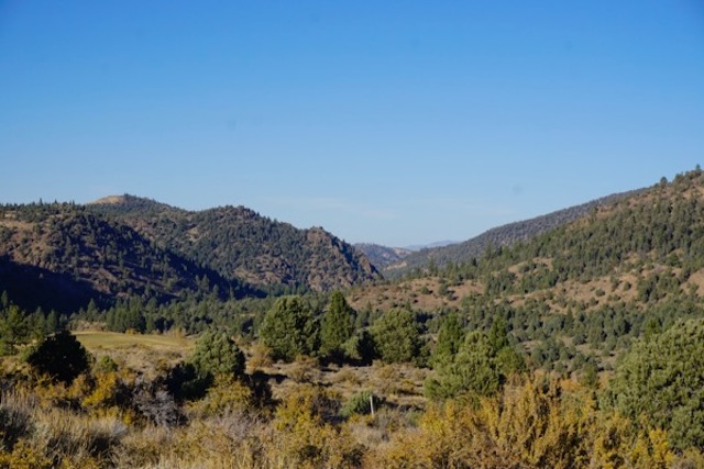
Humboldt-Toiyabe National Forest – extremely dry conditions
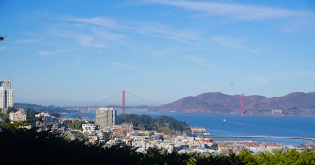
I left my heart … (view from Coit Tower)
Coit Tower, SF
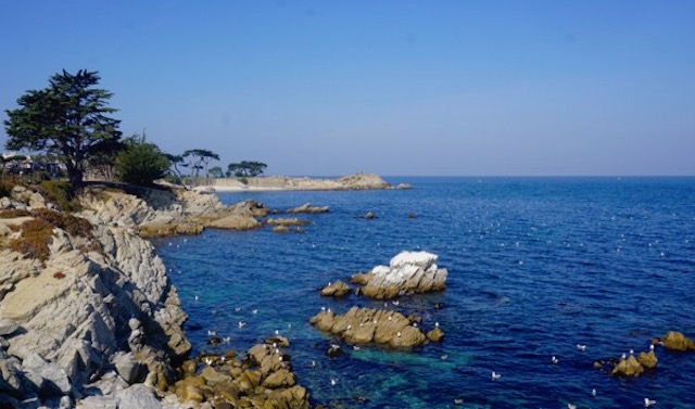
Monterey Bay, looking at Lovers Point in Pacific Grove, California
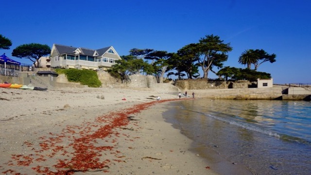
pelagic red crabs wash up on Lovers Point beach – Another sign of climate chaos. Warm ocean temps pushed them north from Mexico and they die from cold shock of Bay. Reportedly a sign of El Nino
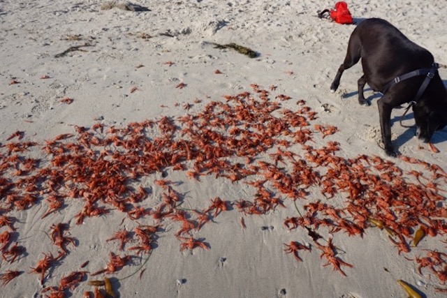
Bouy checking out the dead crabs