Watergap Powerline Destruction Starts
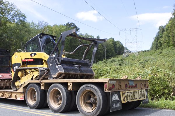
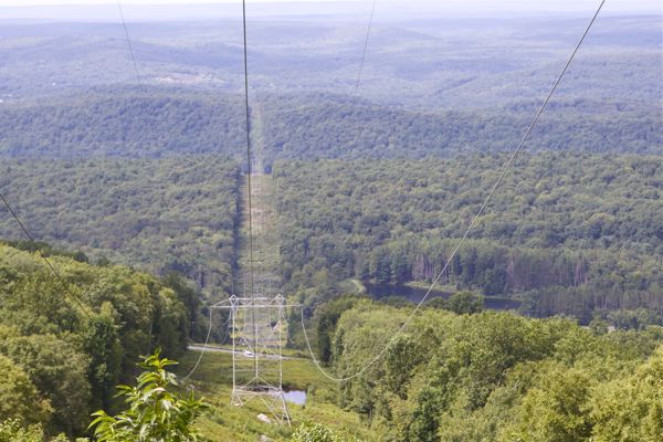
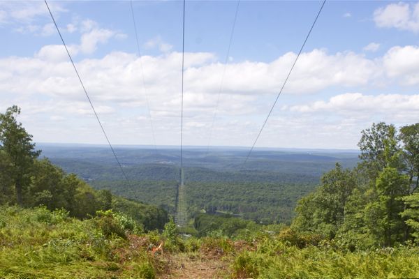
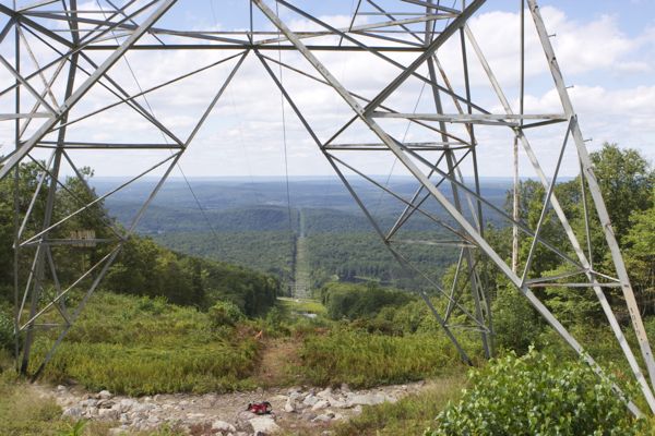
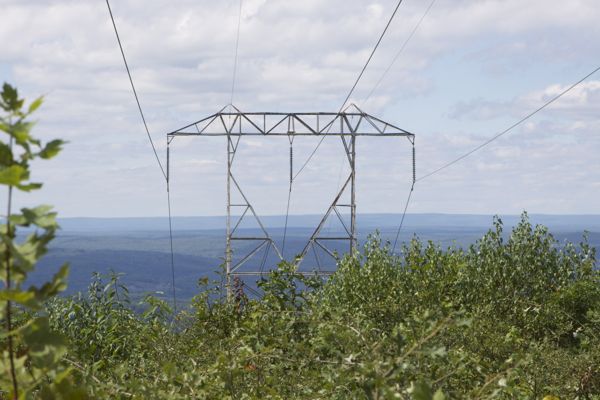
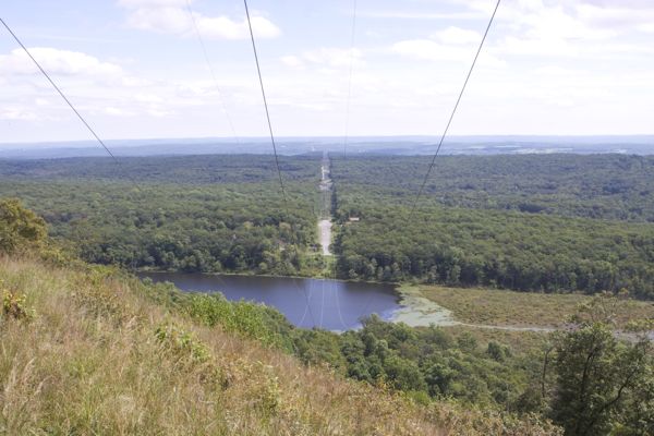
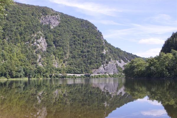
Yesterday, I trucked up to the Delaware Watergap to witness the start of the destruction for the Susquehanna Roseland power line – from the “groundbreaking” scene to the views from the AT.
I almost hoped to arrive upon a huge protest scene, with hundreds of people laying in the road to block the trucks, monkeywrenchers in the woods, and EarthFirst! tree sitters with banners – or US Fish & Wildlife and National Park Service Enforcement delivering an emergency judicially imposed stop work order.
I have a vivid imagination.
Actually, I wouldn’t have been surprised by a NJ Audubon press release, celebrating the “mitigation” deal they struck –
(or a statement from the Obama WH, touting the groundbreaking as part of their “all of the above” energy policy and NEPA “modernization” & “streamlining” for “energy infrastructure” that drove this dirty deal) –
Such is the corrupt and perverse tenor of our times.
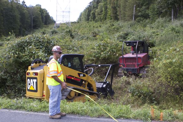
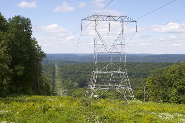
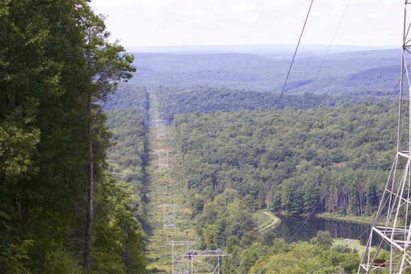
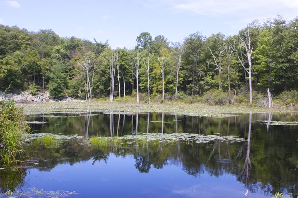
At any rate, here’s what I saw (as necessary, see captions for where shots were taken):

arriving at scene on Old Mine Road - no protesters, just hardhats and biostitutes from Ecolsciences, Inc - "the best science money can buy" could be their motto
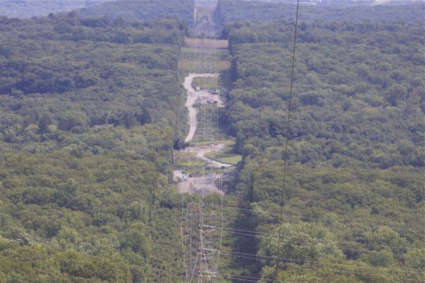
view from AT east into NJ with bigger lens - not sure what disturbed areas in ROW are. Equipment staging?

