Ah, Pastoral! – A Pipeline Runs Through It
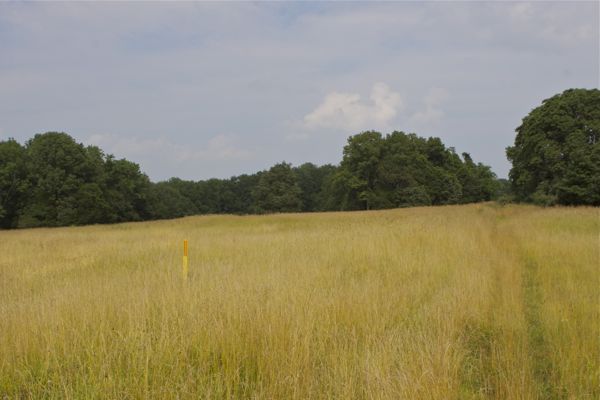
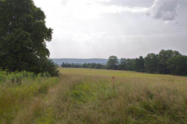
Copper Creek Preserve, Hunterdon County, NJ – what’s that red and yellow sign?
I was just looking at some old photos, and came across these shots, taken 5 years ago, back on July 11, 2011.
The location is the Copper Creek Preserve, also known as “Horseshoe Bend Preserve“:
In summer 2011, the Hunterdon Land Trust, NJ Conservation Foundation and their government partners announced the completion of a major preservation project on the Delaware River bluffs in Kingwood Township. The partnership was the culmination of 10 years of negotiation, relationship-building and sheer persistence. And the effort paid off handsomely. More than 450 acres of open space and farmland were permanently protected, creating a contiguous belt of preserved land stretching across more than 800 acres.
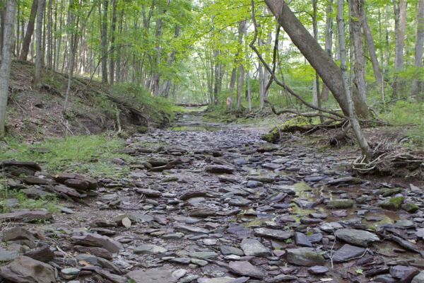
The park is huge – 477 acres in all – including a section on the east side of Horseshoe Bend Road now known as Copper Creek Preserve. It’s one of the most beautiful spots in western Hunterdon County, with rolling hills, lush forested ravines, and sweeping vistas of the Delaware River Valley.
Its high meadows are home to meadowlarks, bobolinks, redwing blackbirds, and many other grassland species. Bald eagles and hawks are believed to nest here. Copper Creek and other small streams flow through the park before tumbling down the bluffs into the Delaware River. Improvements on the property include an 11,000-square-foot equestrian center, barns and other farm structures as well as seven miles of existing trails.

what’s that red and yellow sign?
This might be news to the PennEast crowd, but that’s a Buckeye Oil Pipeline!
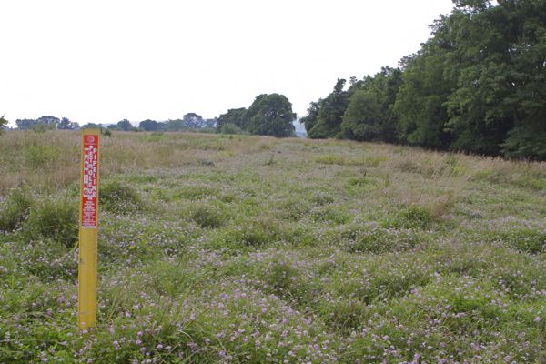
Buckeye Petroleum pipeline
A Category One (C1) stream drains the land – I was involved at DEP in this C1 upgrade circa 2003
(funny, that fact is not mentioned by the Hunterdon Land Trust. Why is that? C1 designation protects 300 feet on both side of the stream from development – and on all those hunted on stream Delaware tributaries from Lambertville to Frenchtown. Those protections didn’t cost taxpayers a dime):
I wonder what the DEP and/or NJCF easement/lease revenues, mitigation, and and possible natural resource damage arrangements are on this one. Buckeye paid someone for those easements.
Was the pipeline there before the Preservation acquisition? Assume so. Certainly before the C1 upgrade.
Stuff to think about, for sure.